Seeing the early morning sun rise behind the windmills of the Kinderdijk was unforgettable! These iconic structures are both beautiful and fascinating.
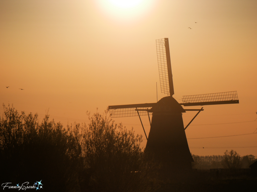
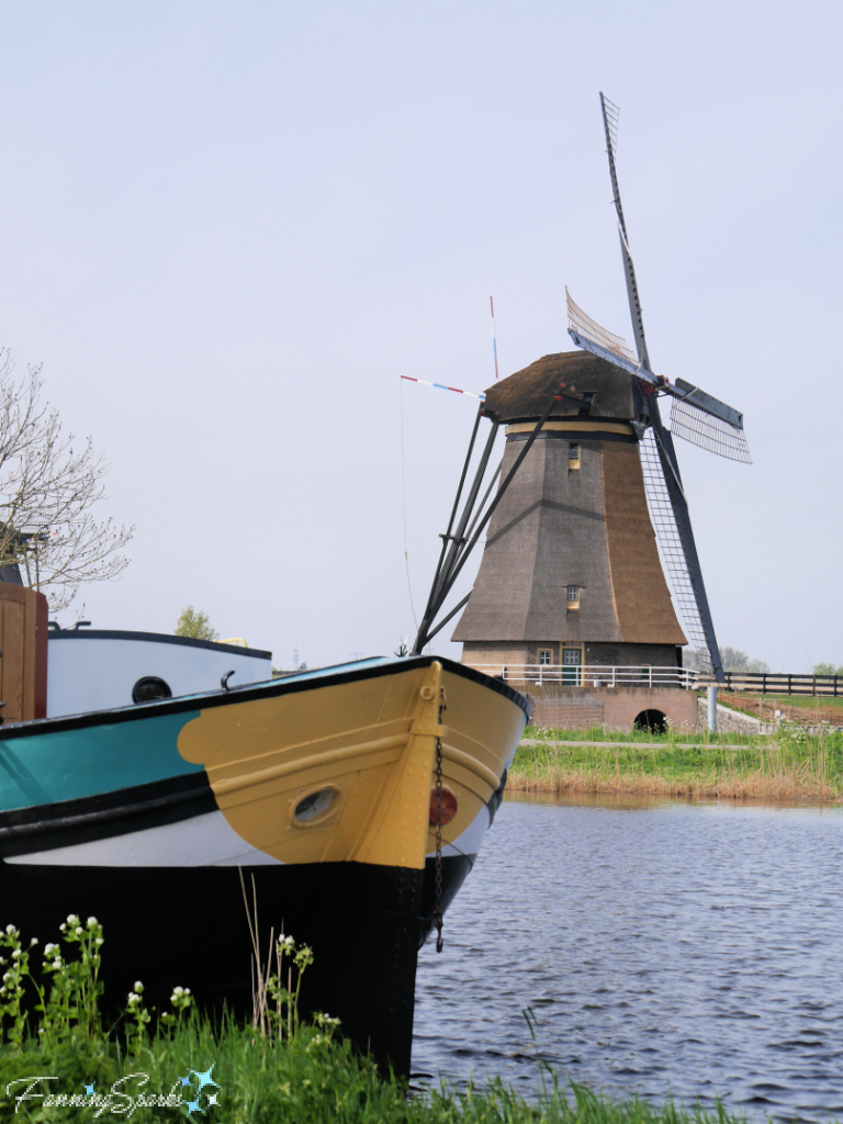
An individual windmill is an impressive sight…
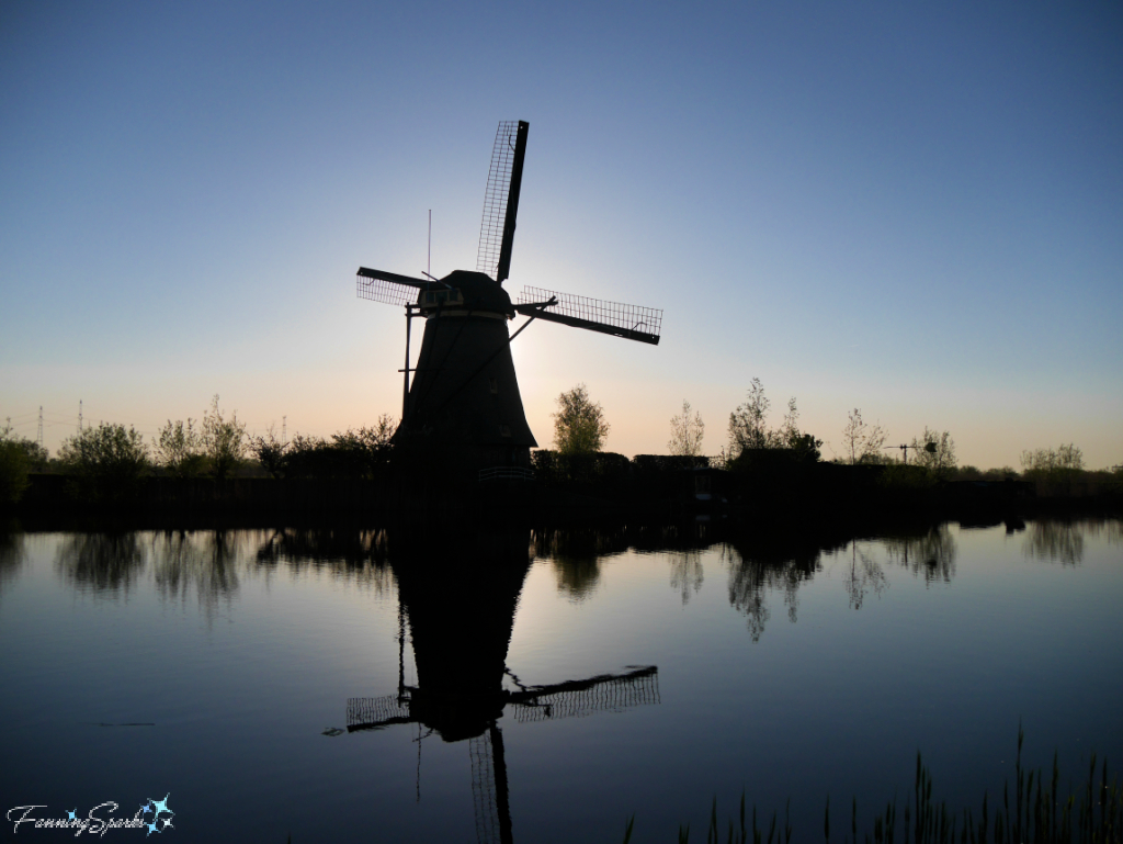
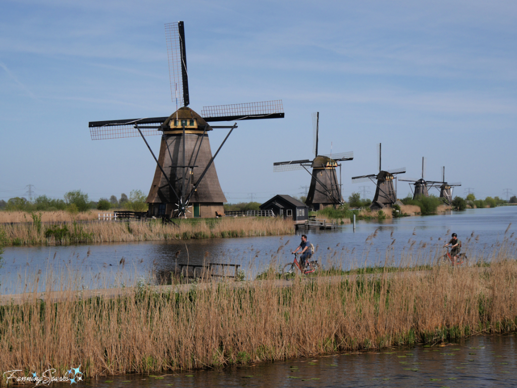
…and a grouping of windmills is even more striking…
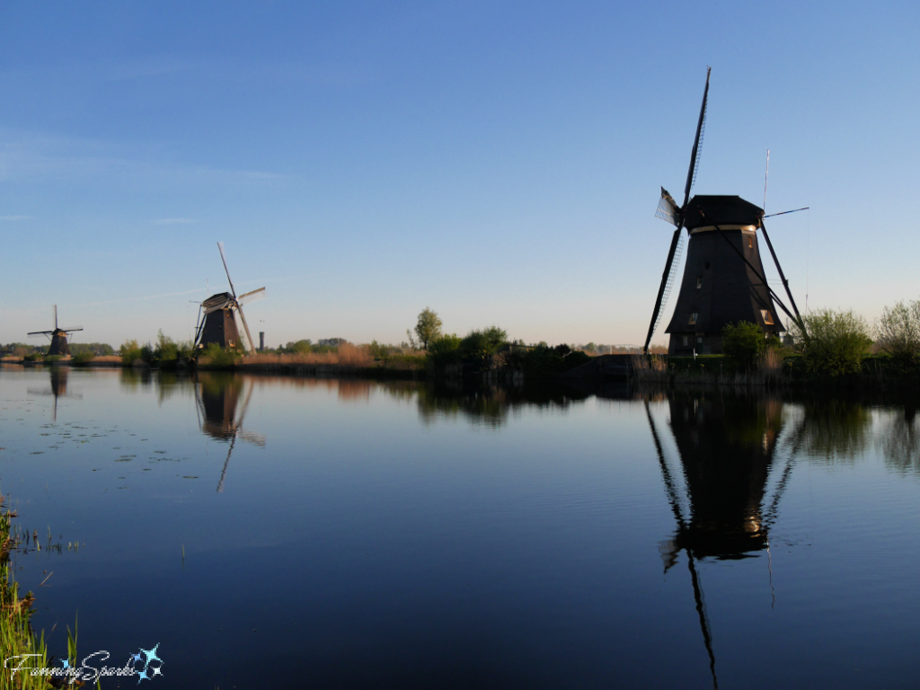
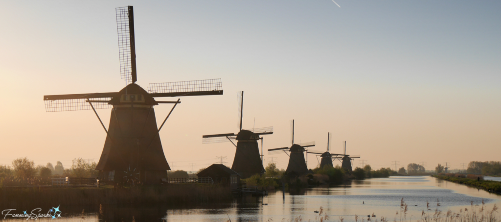
…but most spectacular of all is this iconic view of five identical windmills in a row!
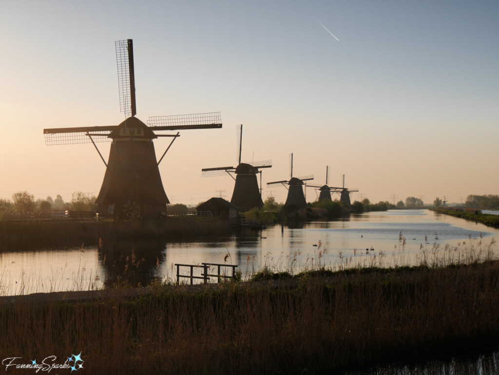
It is, in fact, the concentration of old windmills and the story they tell that make the Kinderdijk area of the Netherlands very special. There are 19 windmills—all nearly 300 years old. They have been carefully preserved with 16 of the windmills still inhabited today.
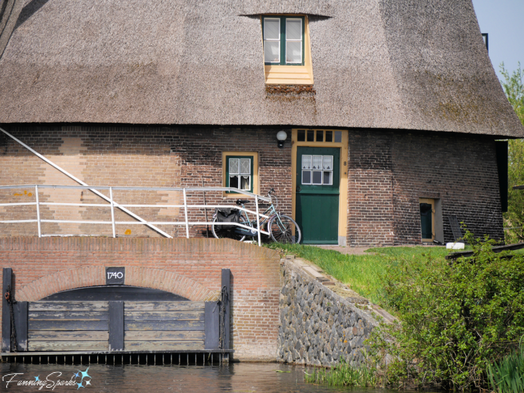
The Kinderdijk windmills no longer mill water but are kept in good operating order and perform at least 60,000 rounds every year. The windmills are surrounded by a network of waterways, dikes and sluices in the low-lying lands of South Holland.
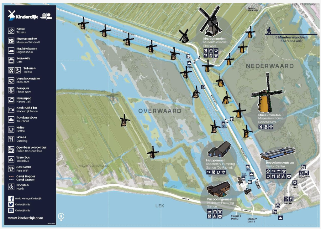
The below map provides a great overview of the Kinderdijk site and indicates where the windmills, waterways, and other points of interest, are located. Note the land to the right of the main waterway is called “Nederwaard” while the land to the left is “Overwaard”.
The Kinderdijk is so special, in fact, that in 1997 the Mill Network at Kinderdijk-Elshout was officially included as a UNESCO World Heritage Site. As explained on the UNESCO website, “The outstanding contribution made by the people of the Netherlands to the technology of handling water is admirably demonstrated by the installations in the Kinderdijk-Elshout area. Construction of hydraulic works for the drainage of land for agriculture and settlement began in the Middle Ages and have continued uninterruptedly to the present day. The site illustrates all the typical features associated with this technology – dykes, reservoirs, pumping stations, administrative buildings and a series of beautifully preserved windmills.”
My sister and I timed our recent visit to Kinderdijk to allow for an afternoon bike ride as well as a sunrise hike. There are great biking and walking paths throughout the site.
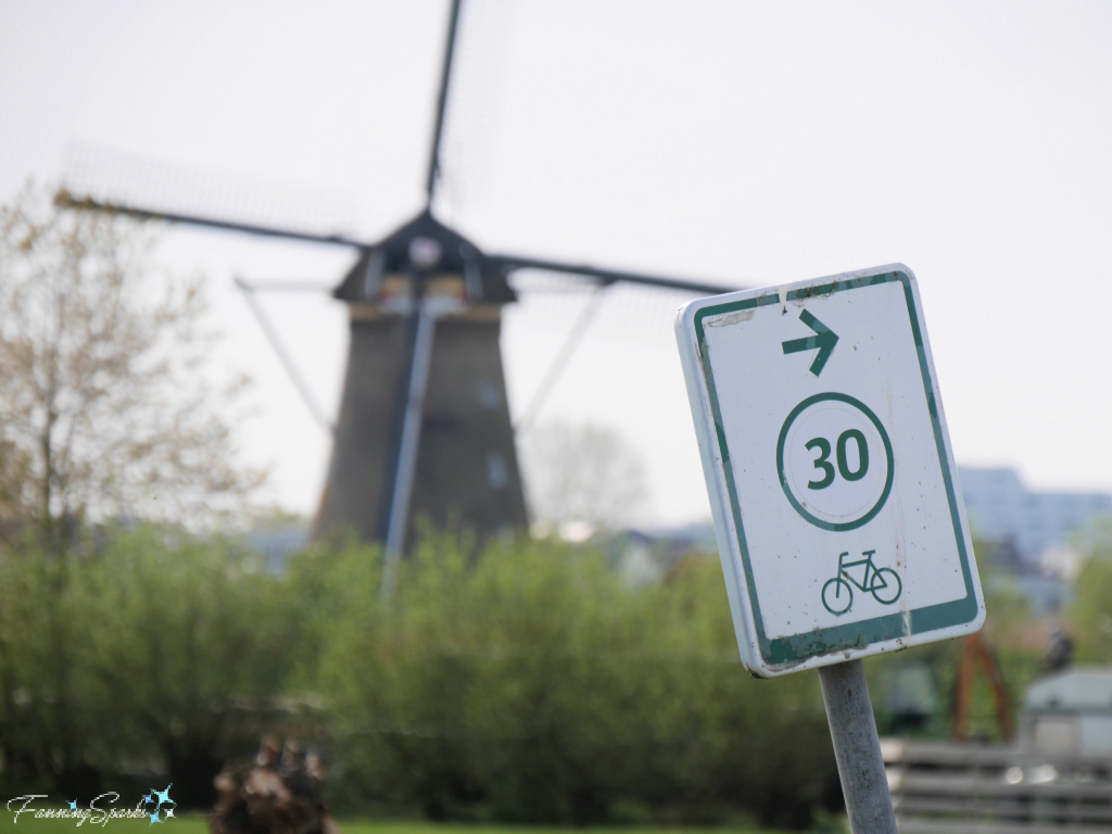
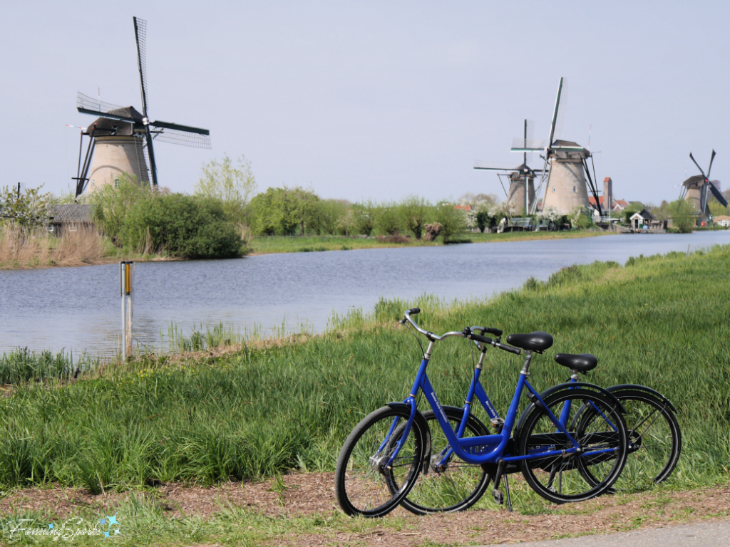
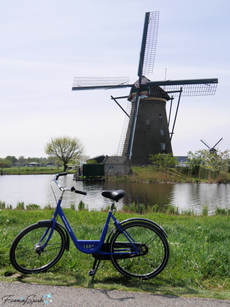
I was thrilled to learn the biking/walking paths are open around the clock (ie not only when the Kinderdijk UNESCO site facilities are open). This meant we could admire the windmills before and after the crowds—the Kinderdijk is, understandably, a very popular destination. The quiet times were especially great for taking photos without random strangers ruining my shots. Of course, with a little luck, other people (like the two cyclists below) can enhance a shot!
More often, though, I find myself patiently (well… maybe not so patiently!) waiting for strangers to move out of the frame. Or I find a way to reframe the view without the strangers. Patience may just be a photographer’s most valuable skill!
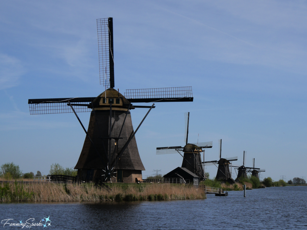
While the windmills make for stunning photos, it’s important not to forget their original purpose.
The Kinderdijk is situated in the Alblasserwaard polder at the confluence of the Lek and Noord rivers. A polder, by the way, is defined as “a piece of low-lying land reclaimed from the sea or a river and protected by dikes”. Amazingly, the entire Kinderdijk site lies 1.5 metres (4 feet) below sea level.
The below photo shows the Kinderdijk area looking down from the dike along the Noord River.
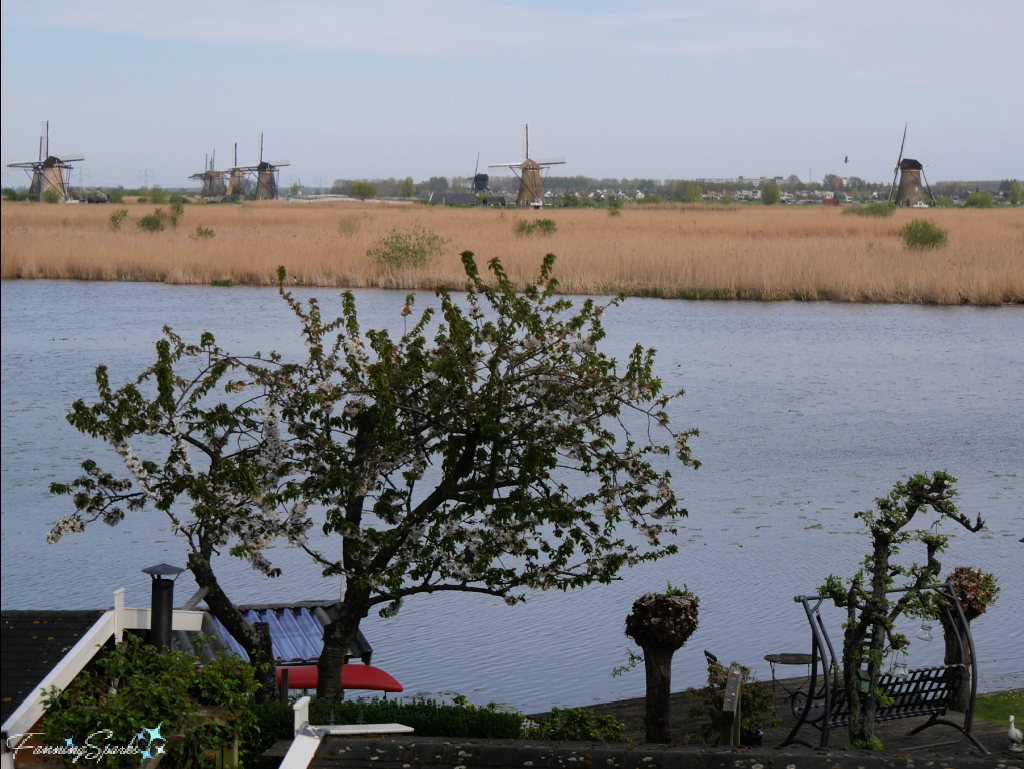
One can’t help but marvel at it all! How is it even possible to live 1.5 meters below sea level? What role do the windmills play? How did this all come about? The Kinderdijk website and audio tours provide a great explanation—here’s a condensed version:
A thousand years ago, the entire area was a big peat bog with little streams naturally carrying water down to the rivers and out to the sea. When the first permanent settlers arrived, they built their homes on the sand dunes and constructed dikes to keep the water away. When rainwater and groundwater continually filled in the enclosed areas, they forcibly removed the water. But as they drained more and more water, the peat bogs started to dry out and the land started to subside. This disrupted the natural balance between ground and water levels making the effort to keep the land dry more and more difficult. It became obvious that a coordinated effort was needed—individual efforts were useless in the fight against the water.
“In the thirteenth century, Count Floris V of Holland ordered the founding of District Water Boards. Water Boards were innovative organisations; cooperative efforts in which all residents contributed to keep these lands dry. Three Water Boards were founded here: Alblasserwaard, Overwaard and Nederwaard.”
The Water Boards constructed a system of ditches, basins and watercourses to direct the water from the polder to the river. At the lowest point, in the area known as Kinderdijk, a set of four sluices was created. A sluice is a waterway controlled at its head by a moveable gate. The sluice gates were opened at low tide to let the water flow into the river.
But the water kept fighting back. A disastrous flood, the St Elisabeth’s flood of 1421, wiped out the poorly maintained dikes causing thousands of people to drown. Soil subsidence and the ever-increasing effort to drain the water from the polders became more and more urgent. The Water Boards tried various techniques to keep the water out. Eventually, they determined that the best way to tackle the water problem was with windmills.
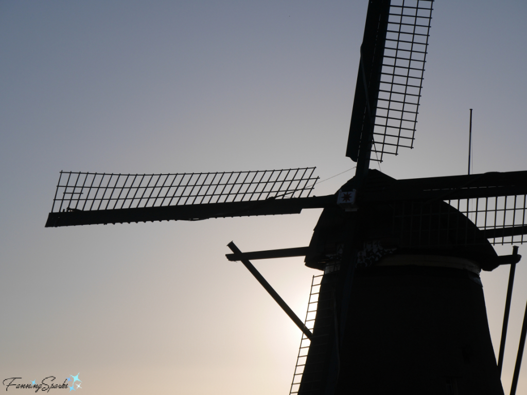
“Over the following centuries, trial and error leads to continued improvement of a system using windmills and pumping stations. The basins serve as buffers to contain the surplus water. The water in the lower basin can be lifted up into the upper basin in the event of excess water, but it can also be redirected back into the polder canals in times of drought. This is how the wind was harnessed in the service of the people, the land, and the water around the Kinderdijk area. Eventually, the Water Boards of Overwaard and Nederwaard had twenty windmills up and running between them, of which nineteen remain for you to admire and experience …today.”
Interestingly, the two Water Boards had different opinions about how to build windmills. The Nederwaard District Water Board started first, using brick to build round windmills (shown on the right below). These structures were very sturdy but also extremely heavy—they tended to sink into the boggy soil. Some even started to lean before construction was finished. Seeing this, the Overwaard District Water Board decided to build eight-sided structures out of wood and thatch (shown on the left below). The structures were lighter but they were very susceptible to fire.
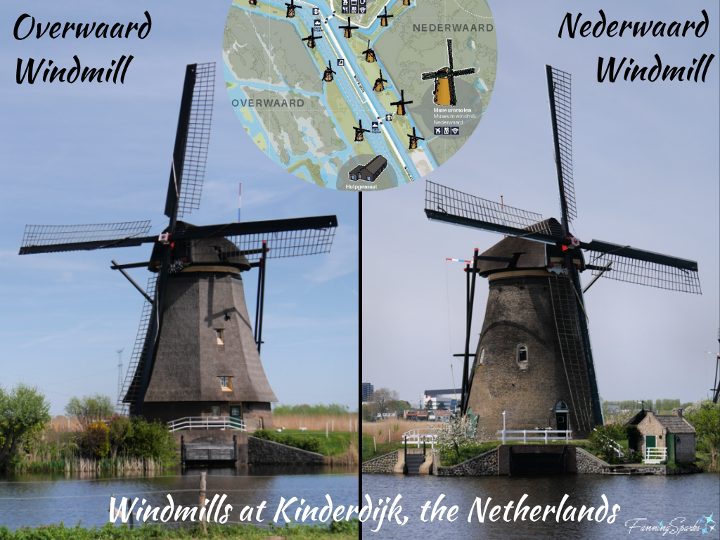
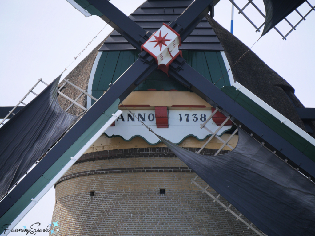
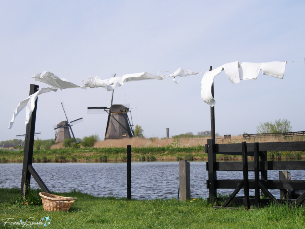
Evidence of the original windmills is still visible today.
Another type of windmill on view at Kinderdijk is the hollow-post mill. The Blokweer Museum Mill, originally built in 1630 and the oldest of the Kinderdijk windmills, is an example.
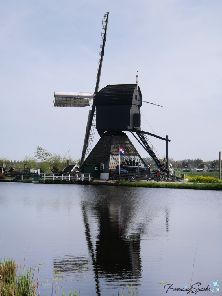
This windmill and its grounds are set up as a living museum depicting how a miller and his family would have lived in the 1950s. It made for some lovely photos.
The Kinderdijk UNESCO World Heritage Site is a tribute to more than seven centuries of water management. The audio tour wraps up with this thought-provoking conclusion: “And as the rest of the world is struggling with rising sea levels, with flooding becoming a bigger problem all over the planet, we the Dutch, have been living below sea level for centuries. This area is living proof for what water management can achieve. So maybe there is a good reason why that picture of five windmills can be seen all over the world. It’s not just a pretty picture, it’s a true wonder of the world! And it could be an example for the world, as well.”
More Info
My recent trip to the Netherlands and Belgium was packed with fun and inspiration. I’m sharing the experience in a series of blog posts including:
. Come Tiptoe Through the Tulips which is packed with all things tulip including a visit to Noorwijkerhout in the midst of the Bulb Region, the world-famous spring gardens at Keukenhof, and tulip-related highlights from the Rijksmuseum in Amsterdam.
. Milling the Water of Kinderdijk (this post).
. Painting Delftware in Delft about the charming city of Delft and our experience trying a centuries-old painting tradition at the historic Royal Delft factory.
. Expected and Unexpected Delights of Ghent in which I share the rich heritage and beautiful architecture of Ghent Belgium as well as unexpected delights such as innovative art installations and sweet wildlife sightings.
. Artworks as Big as Walls in Amsterdam sharing our experience visiting STRAAT, the graffiti and street art museum, in Amsterdam’s edgy arts community at NDSM.
To learn more about the Kinderdijk UNESCO World Heritage Site check out the Kinderdijk website or the Kinderdijk UNESCO Official app.
See the World Heritage Convention United Nations Educational, Scientific and Cultural Organization (UNESCO) website for more information about this organization or to reference the UNESCO listing for the Kinderdijk. As noted on the UNESCO site “What makes the concept of World Heritage exceptional is its universal application. World Heritage sites belong to all the peoples of the world, irrespective of the territory on which they are located.”
Today’s Takeaways
1. Seek out UNESCO World Heritage Sites to visit and explore.
2. If possible, plan to visit a special destination at different times throughout the day.
3. Consider how technological accomplishments of the past can inform today’s challenges.




2 Comments
@Marian, Thanks! Oh the things I learn when writing these blog posts. Peg
Absolutely awesome post!
The photos are stunning.
Oh the things you teach / make me learn!